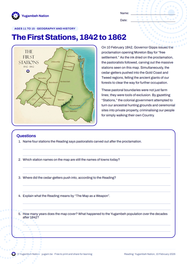
Study a map of the first pastoral stations on Yugambeh Country and how the 1842 proclamation turned Country into private property.
Download nowPDF · 306 KBPrints on A4. Free to print and share for learning; please keep the Yugambeh Nation’s name on it.
What students do
- Study a map of the first pastoral stations
- Explain how maps were used as tools of exclusion
Australian Curriculum
- Year levels
- Years 6 to 9
- Learning areas
- GeographyHistory
- A_TSICP1Deep connection to, and responsibility for, Country: land, sea, sky and waterwaysCountry/Place
- A_TSICP2Colonisation under terra nullius, experienced as an invasionCountry/Place
Suggested links to version 9.0 of the Australian Curriculum cross-curriculum priorities: First Nations histories and cultures. Summaries are in our own words; see ACARA for the full organising ideas.
More worksheets
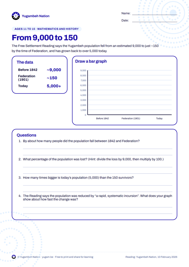
From 9,000 to 150: Graphing a Population
Graph the Yugambeh population from about 9,000 before 1842, to about 150 by Federation, to more than 5,000 today, and calculate the changes.
View and download →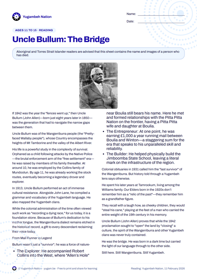
Uncle Bullum (John Allen): The Bridge
Read about Uncle Bullum, the Wangerriburra man who carried the Yugambeh language through the nineteenth century, and answer questions about his life.
View and download →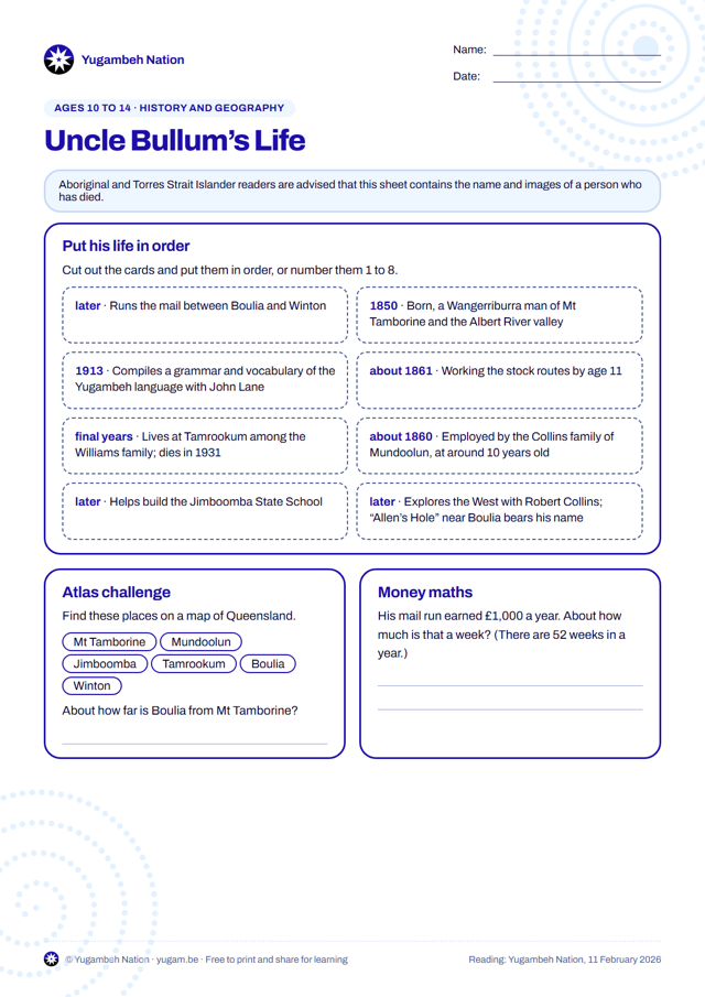
Uncle Bullum’s Life: Timeline and Atlas
Put the events of Uncle Bullum’s life in order, find the places he lived and worked in an atlas, and work out what his mail run earned.
View and download →