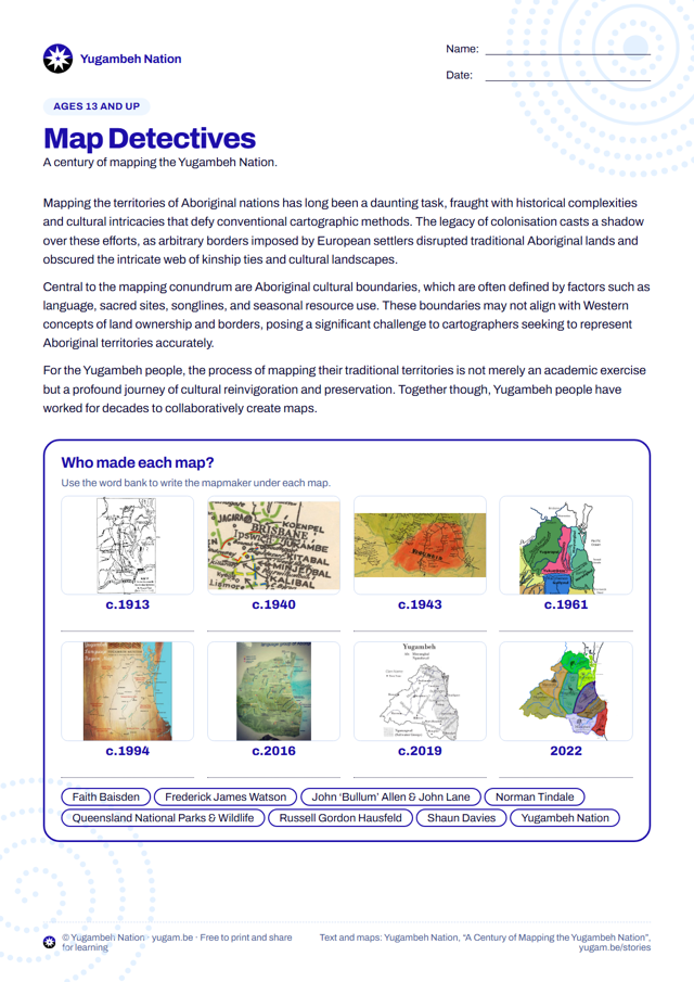
Explore more than a hundred years of maps of the Yugambeh Nation, from 1913 to today, and think about who makes maps and why.
Download nowPDF · 3.4 MBPrints on A4. Free to print and share for learning; please keep the Yugambeh Nation’s name on it.
What students do
- Match eight maps to their mapmakers
- Compare maps and think about who makes them and why
Australian Curriculum
- Year levels
- Years 8 to 10
- Learning areas
- GeographyHistory
- A_TSICP1Deep connection to, and responsibility for, Country: land, sea, sky and waterwaysCountry/Place
- A_TSICP2Colonisation under terra nullius, experienced as an invasionCountry/Place
Suggested links to version 9.0 of the Australian Curriculum cross-curriculum priorities: First Nations histories and cultures. Summaries are in our own words; see ACARA for the full organising ideas.
More worksheets
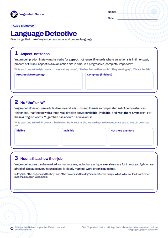
Language Detective: What Makes Yugambeh Special
Five things that make Yugambeh a special and unique language, with puzzles that show how its grammar works compared with English.
View and download →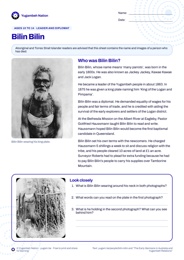
Bilin Bilin: Leader and Diplomat
Look closely at two historic photographs of Bilin Bilin, read about the leader who demanded equal wages for his people, and answer questions.
View and download →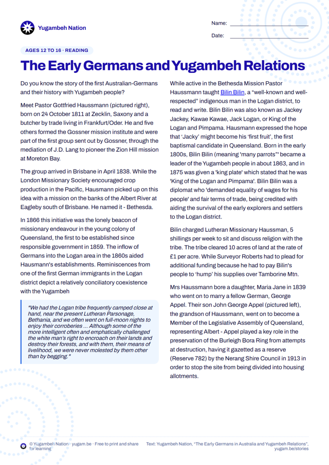
The Early Germans and Yugambeh Relations
Read about Pastor Haussmann’s Bethesda mission, Bilin Bilin’s terms of trade and the Burleigh Bora Ring, then answer the questions.
View and download →